
Ocklawaha Mitigation Bank
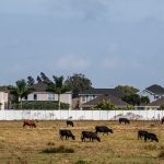
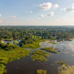
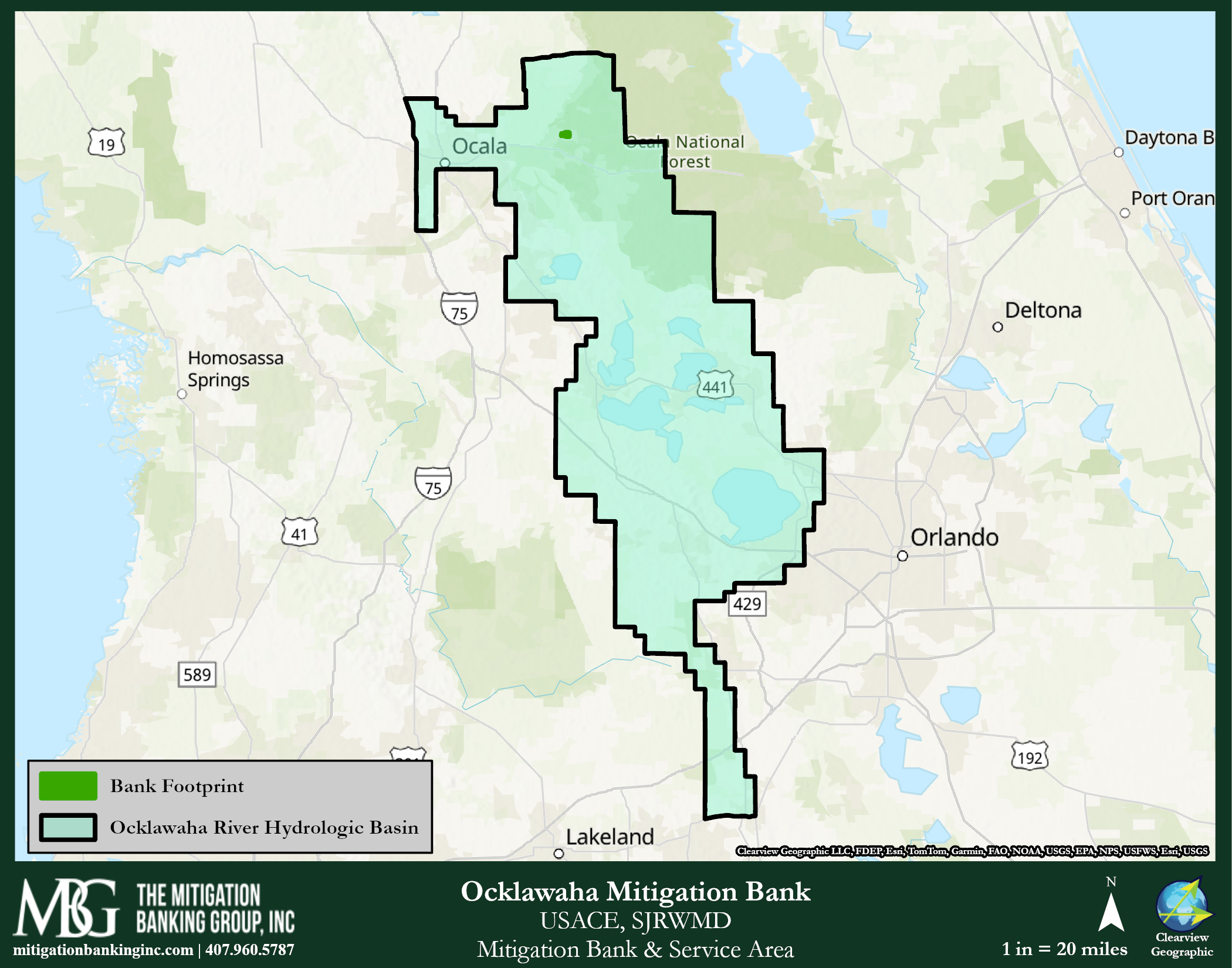
The Ocklawaha Mitigation Bank (OMB) is a 208-acre property that will yield 25.82 Forested UMAM State Mitigation Credits in the Northern Ocklawaha Basin in Marion County. This bank, permitted by SJRWMD, is an active silvicultural operation featuring densely planted pine trees on elevated beds.
To restore the property’s hydrology and improve the natural environmental features of the land, the owner plans to:
- Harvest pine trees
- Breach the elevated pine row beds
- Install low water crossings and/or culverts (pipes)
- Construct one (1) flashboard riser
This alignment with the region’s natural state offers opportunities for credits as described in the Ocklawaha Mitigation Bank UMAM Spreadsheet.
Features:
- Cypress Wetlands Preservation: 34.37 acres
- Cypress Wetlands Restoration from Hydric Pine Plantation: 50.74 acres
- Hydric Pine Flatwoods Restoration from Various Plantations: 70.37 acres
- Wetland Coniferous Forest Preservation: 2.31 acres
- Upland Credit Acres: 45.32 acres
- Total Credit Acres & Credits: 206.80 acres, 27.85 credits
Location:
Positioned within the Silver Springs area and close to the Ocala National Forest, this land benefits from a prime location, suited for both restoration and conservation purposes.
Security & Monitoring:
The land is equipped with planned security measures, and monitoring maps show extensive environmental evaluation, making it a promising opportunity for eco-sensitive development.
Contact:
For more information, reach out to Victoria Bruce at victoria@mitigationbankinginc.com or call the office at 407.960.5787.
Download the full report with vicinity maps, monitoring maps, LIDAR elevations, and aerial images.