Frequently Asked Questions
Resources
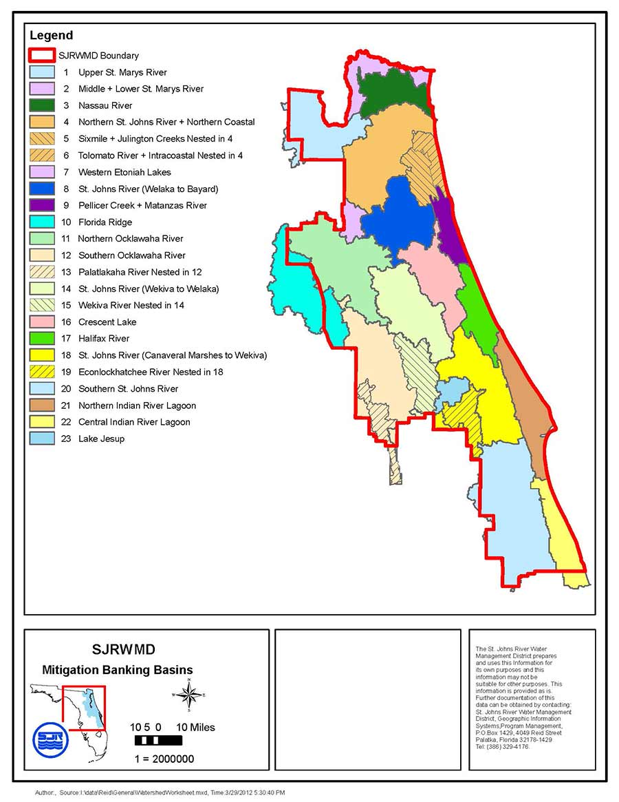
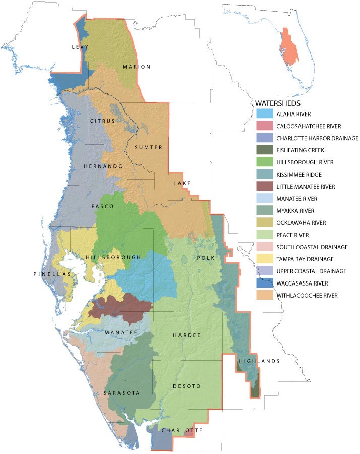
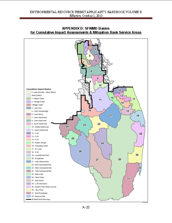
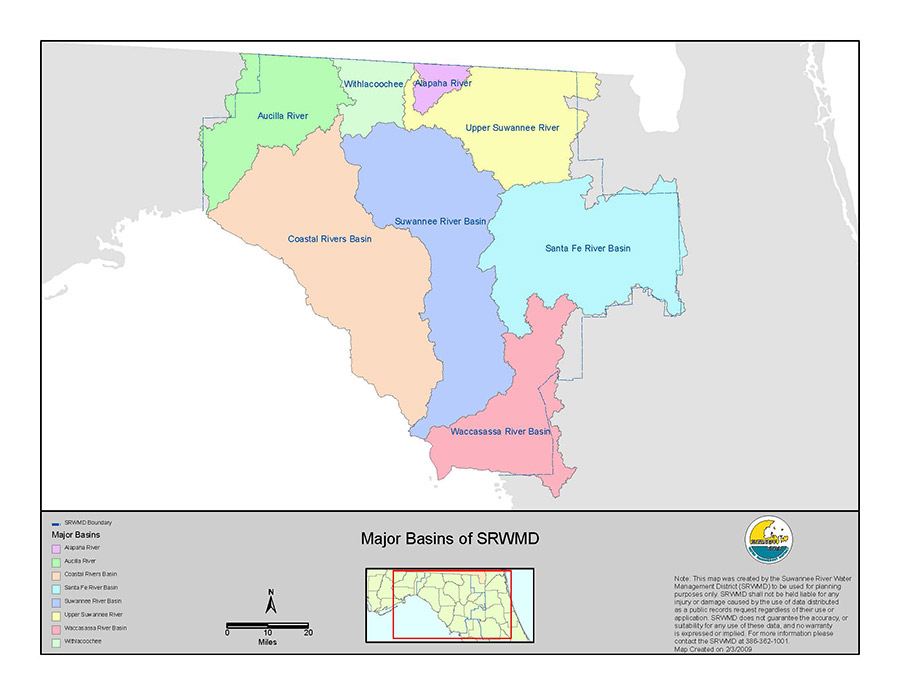
Click to view larger image.
Mitigation Banking Helpful Links/Resources:
Federally Permitted and Pending Florida Mitigation Banks (status of permits, available credits and ledger):
RIBITS:
Home (army.mil) https://ribits.ops.usace.army.mil/ords/f?p=107:2
The Five Water Management Districts throughout Florida:
SJRWMD Mitigation Banks:
http://webapub.sjrwmd.com/agws10/mt/
SWFWMD Mitigation Banks:
SFWMD Mitigation Banks: (Need to search by Mitigation Bank Permit Number):
http://my.sfwmd.gov/ePermitting/PopulateLOVs.do?flag=1
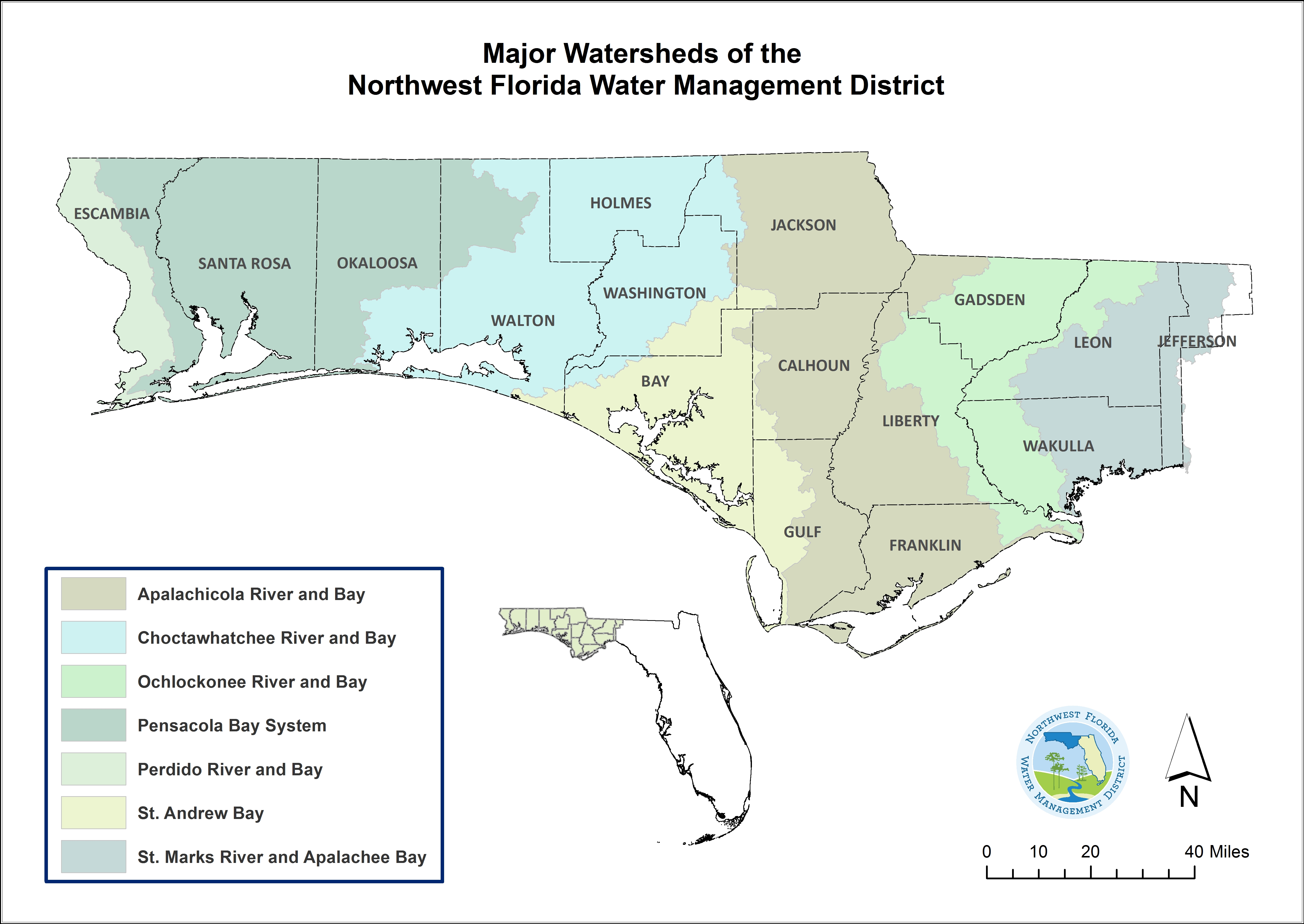
NWFWMD Mitigation Banks:
https://www.nwfwmdwetlands.com/Umbrella-Plan/Watersheds
SRWMD Mitigation Banks: Need to search by Mitigation Bank Permit Number:
https://permitting.sjrwmd.com/srepermitting/jsp/Search.do?theAction=PermitNumSearch
FDEP Mitigation Bank Ledgers:
National Wetlands Inventory: Wetlands Mapper:
National Wetlands Inventory (NWI), https://www.fws.gov/wetlands/data/Mapper.html
FDEP 404 Jurisdiction Determination
https://fdep.maps.arcgis.com/apps/webappviewer/index.html?id=2cb8724cfd18408db80c8f2d7bb68a2e
Water Contamination
https://www.consumernotice.org/environmental/water-contamination/
https://www.asbestos.com/exposure/water-supply/
Asbestos in Soil and Water | Exposure Risks (mesothelioma.net)
FDEPs Map Direct
https://ca.dep.state.fl.us/mapdirect/?focus=standard
FDEP MapDirect: Mitigation Bank Service Area Map
Mitigation Banks Service Area Map (state.fl.us)
Latitude and Longitude Conversion Tool
https://www.fcc.gov/media/radio/dms-decimal
Florida DEP Consolidated OCULUS- Electronic Document Management System
Real Property Dedicated in Perpetuity for Conservation Exemption Application
Please click on the link for forms that need to be submitted to your county tax collector by March 1st of the year you are requesting a tax exemption for. This is form DR-418-C. Once you are approved, you should only need to file the Renewal form DR-418-CR, also referenced.
JD Request Form-Jurisdictional Waters of the United States regulated by the U.S. Army Corps of Engineers
The identification and location of jurisdictional Waters of the United States, including wetlands regulated by the U.S. Army Corps of Engineers under Section 404 of the Clean Water Act and Sections 9 and 10 of the Rivers and Harbors Act, is determined through a process known as a Jurisdictional Determination (JD).
In order to make an official determination if the USACOE will claim jurisdiciation, you must submit an AJD request on behalf of the applicant to CORPSJAXREG-NC@usace.army.mil
What are Wetlands? Wetland Permitting 101 from The Florida Department of Environmental Protection (FDEP) January 2020


