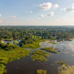
National Wetland Inventory
Wetlands are vital resources for habitat and water quality. To protect them for future generations, the state and federal agencies requires people who plan to remove or add material to wetlands (or waterways) to get a permit.
But how do we determine if a patch of land is a wetland?
The National Wetlands Inventory (https://fwsprimary.wim.usgs.gov/wetlands/apps/wetlands-mapper/) is the best place to start for approximating where wetlands might be located. However, sometimes onsite assessment by a qualified wetland professional is needed to confirm their presence.
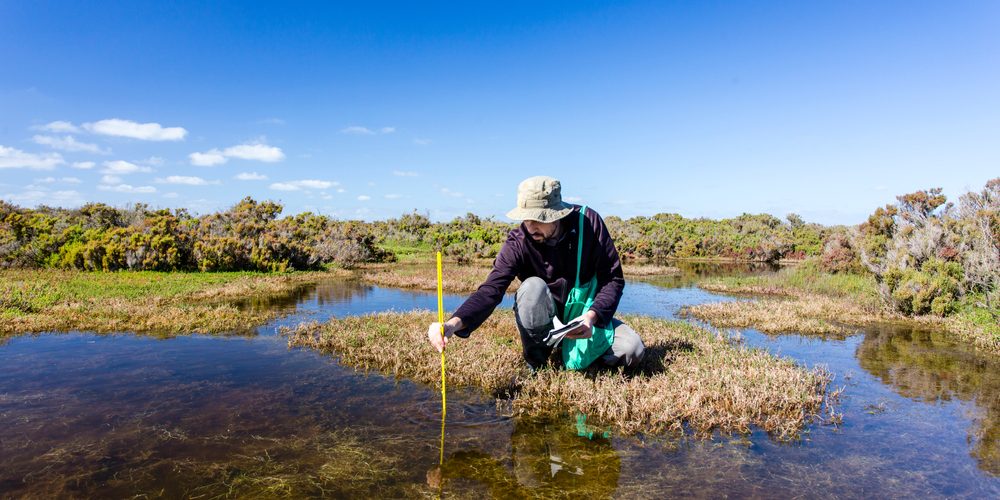
The appropriate agencies and private environmental consultants sample areas for indicators of wetland vegetation, soil, and hydrology. Digging to a depth of 20-24 inches, they document the soil profile from top to bottom. The most common visual of wetland conditions in the soil is redox concentrations (rusty areas where water has relocated iron).
Make sure to reach out early in a project if they aren’t sure about a site being a #wetland. It’s best for all parties involved if wetland assessment takes place early in the life of a project so that impacts can be avoided or minimized.