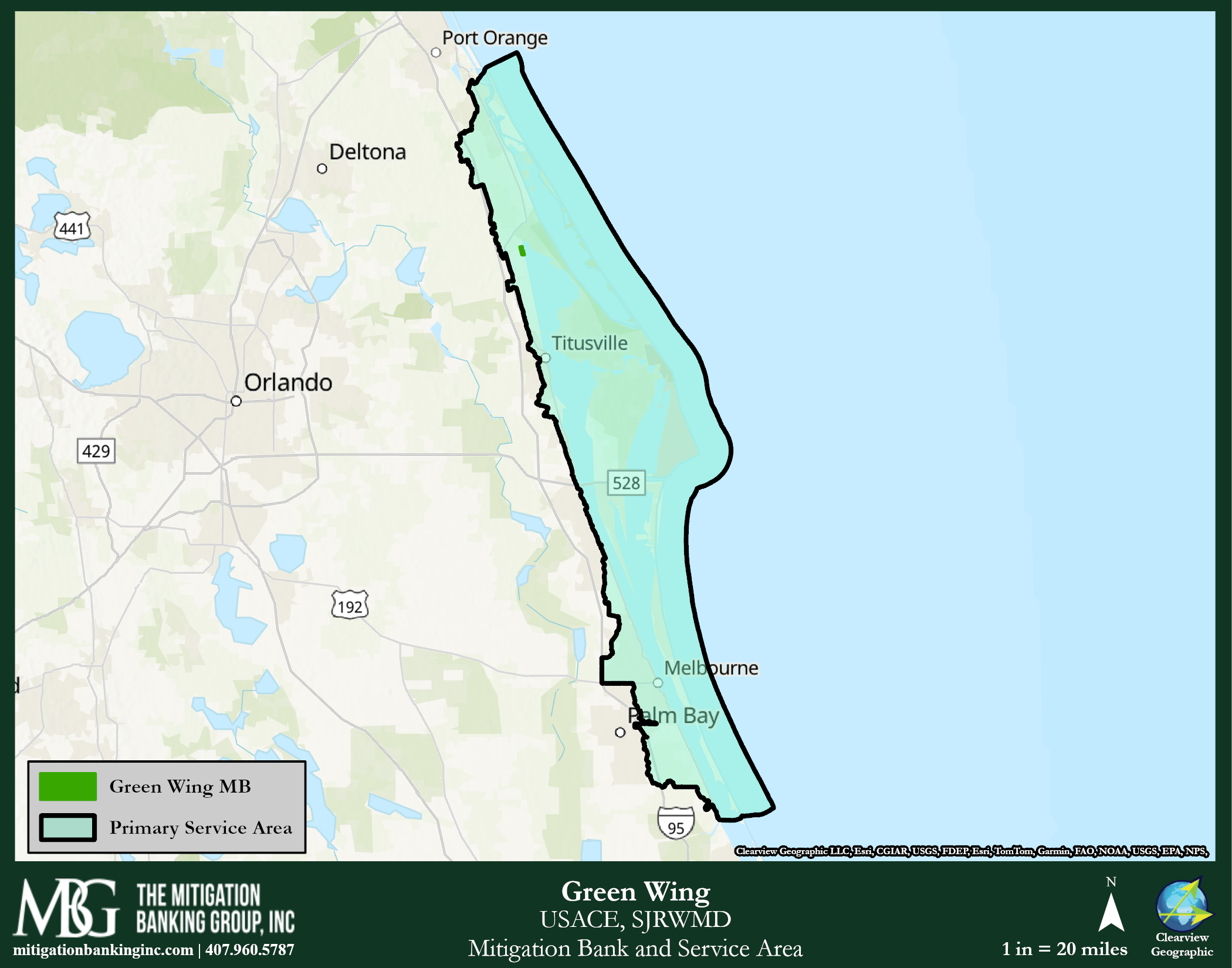
Green Wing Mitigation Bank: Restoring and Enhancing Wetlands in Brevard County, Florida
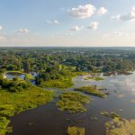
The Green Wing Mitigation Bank is 242.47 acres located near the town of Scottsmore; in northern Brevard County, Indian River Lagoon Basin (Basin 21). This mitigation bank has Saltwater State and Federal Credits, as well as Freshwater Forested Federal Credits.
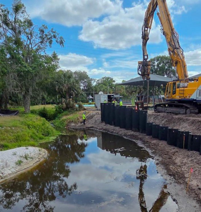
The project involves the enhancement and reconnection of impounded salt marshes and tidal creeks by removing upland levees, culverts, control structures, and flap gates. This will improve hydrological conditions for various estuarine communities. Additionally, a spreader swale will be constructed to enhance water flow into the site. The project aims to enhance wetland habitats and improve hydrological conditions while ensuring minimal environmental impact and complying with regulatory requirements.
The overall primary ecological goal of the GWMB is to restore, reconnect and permanently protect the hydrology and wildlife habitat of 242.45 acres of wetland habitats and adjacent upland buffer habitats while increasing the wetland function on a watershed level; such as:
- Hydrological enhancement through the regrading of portions of the levee and canal system and reconnection of the impounded waters with the IRL.
- Treatment and control of nuisance and exotic vegetation.
- Reconnection of historic tidal creek systems.
- Rehabilitation of saltwater habitat.
- Preservation of all 242.45 acres of rehabilitated/re-established wetland habitat.
Historically, the site was ecologically identical to the adjacent marshes and coastal hydric hammock to the north. Its hydrology was primarily supplied by the ebb and flow of IRL waters. Occasionally, it received stormwater sheet flow following strong rainfall events. However, beginning with the installation of the Florida East Coast railway (FEC) around 1893, the site experienced changes in freshwater flow patterns through the excavation of drainage ditches that exist to this day.
Additionally, the salt marsh areas within the GWMB were contained within two newly created mosquito impoundments around 1960, which appear to have created the greatest impact on the hydrology and ecology of the salt marshes. It effectively cut off the marsh areas from the IRL, resulting in a drop in salinity and a rise in water levels. In 1991, a study was conducted that found cattails had invaded the T-4 impoundment and covered approximately 70 percent of the area. The same study found only five species of fish within the impoundments. This is likely attributable to the drop in salinity and lack of connectivity of the impoundments. Subsequently, several culverts and a pump were installed to arrest and reverse the trend toward freshwater marshes. These improvements seemed to work well in that cattails were nearly eradicated in a short amount of time. However, these efforts were ceased a few years later. Now the flapgate culverts are no longer operable and remain closed. The result is a gradual return to freshwater-like conditions unlike the saline conditions that existed historically.
")

")
")
")
")
")

")